
File:Seychelles location map.svg

Size of this PNG preview of this SVG file: 711 × 600 pixels. resolutions: 285 × 240 pixels | 569 × 480 pixels | 910 × 768 pixels | 1,214 × 1,024 pixels | 2,428 × 2,048 pixels | 1,087 × 917 pixels. Foforɔ
Krataa no ankasa (SVG file, nominally 1,087 × 917 pixels, file size: 80 KB)
Tɔ fa
| Ɛmu nkyerɛkyere mu |
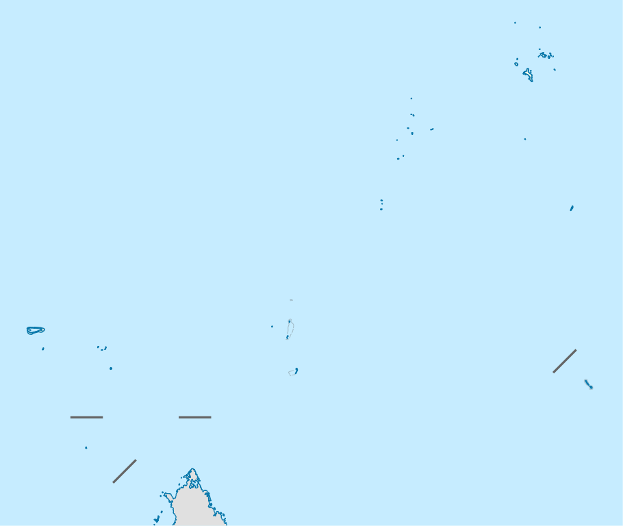
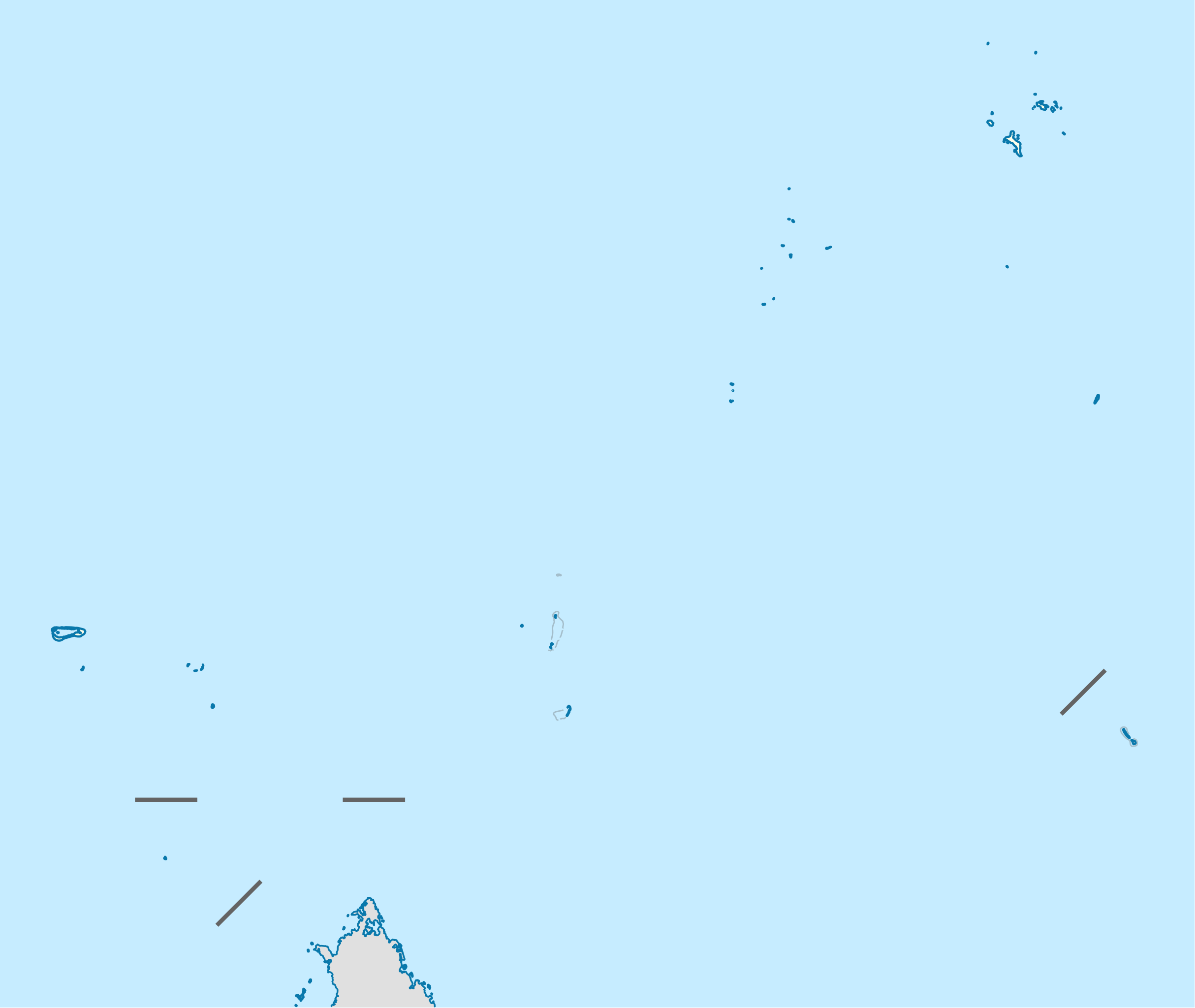
Deutsch: Positionskarte der Seychellen
Quadratische Plattkarte. Geographische Begrenzung der Karte:
English: Location map of Seychelles
Equirectangular projection. Geographic limits of the map:
|
| Da | |
| Beaɛ a ɛfiri | Wo ankasa w'adwuma, using United States National Imagery and Mapping Agency data |
| Ɔtwerɛfoɔ | NordNordWest |
| Akwanya (Fa nkrataa no di dwuma biom) |
I, the copyright holder of this work, hereby publish it under the following license: This file is licensed under the Creative Commons Attribution-Share Alike 3.0 Unported license.
|

|
This map has been made or improved in the German Kartenwerkstatt (Map Lab). You can propose maps to improve as well.
|
Kratafa ne ho abakɔsɛm
Mia ɛda/berɛ no so na hwɛ sɛnea krataa no baeɛ wo saa berɛ nom
| Da/Mmere | Tɔfabɔ | Akwan ahodoɔ | Odwumdini | Adwenkyerɛ | |
|---|---|---|---|---|---|
| nea ɛkɔ so | 14:55, 20 Ahinime 2009 | | 1,087 × 917 (80 KB) | NordNordWest | {{int:filedesc}} {{Information |Description= {{de|Positionskarte der Seychellen}} Quadratische Plattkarte. Geographische Begrenzung der Karte: * N: 3.3° S * S: 13.0° S * W: 45.7° O * O: 57.2° O {{en|Location map of [[:en:Seychelles| |
Nkrataa a wɔde di dwuma
Nea ɛdidisoɔ yi 2 nkratafa dwumadie this file:
Nea wiase nyinaa de yɛ adwuma
Wikis a edidi so yi de di dwuma:
- Yɛ de ayɛ adwuma wɔ af.wikipedia.org
- Yɛ de ayɛ adwuma wɔ am.wikipedia.org
- Yɛ de ayɛ adwuma wɔ an.wikipedia.org
- Yɛ de ayɛ adwuma wɔ ar.wikipedia.org
- Yɛ de ayɛ adwuma wɔ ast.wikipedia.org
- Yɛ de ayɛ adwuma wɔ az.wikipedia.org
- Yɛ de ayɛ adwuma wɔ be-tarask.wikipedia.org
- Yɛ de ayɛ adwuma wɔ be.wikipedia.org
- Yɛ de ayɛ adwuma wɔ bg.wikipedia.org
- Yɛ de ayɛ adwuma wɔ bn.wikipedia.org
- Yɛ de ayɛ adwuma wɔ bs.wikipedia.org
- Yɛ de ayɛ adwuma wɔ ceb.wikipedia.org
View more global usage of this file.