
File:Lexington Battle Green, Lexington MA.jpg
Nea wohwɛ yi ne tibea: 800 × 600 pixels. resolutions: 320 × 240 pixels | 640 × 480 pixels | 1,024 × 768 pixels | 1,280 × 960 pixels | 2,592 × 1,944 pixels. Foforɔ
Krataa no ankasa (2,592 × 1,944 pixels, file size: 1.56 MB, MIME type: image/jpeg)
Tɔ fa
| Ɛmu nkyerɛkyere mu |
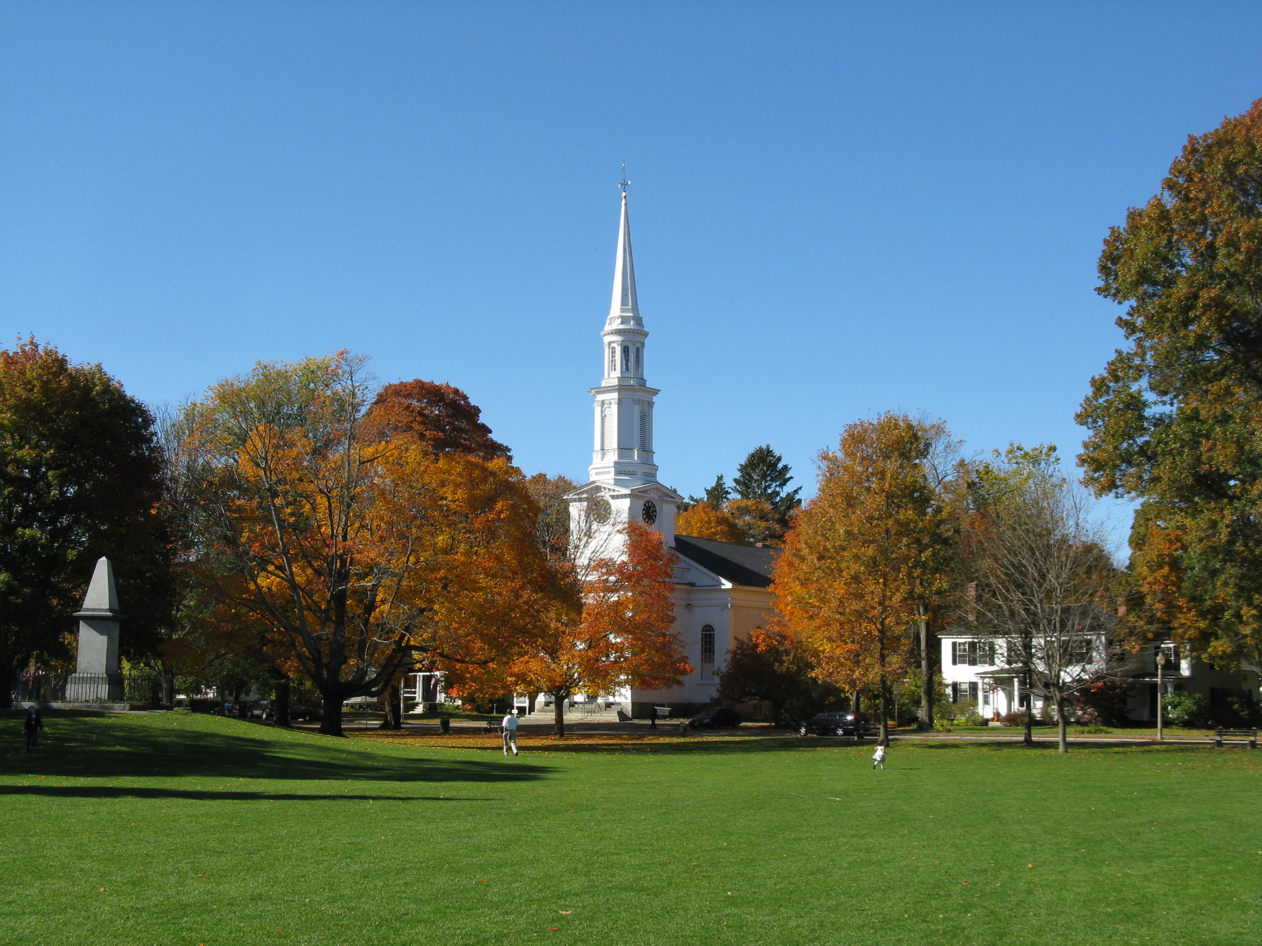
English: Lexington Battle Green, Lexington Massachusetts |
| Da | |
| Beaɛ a ɛfiri | Wo ankasa w'adwuma |
| Ɔtwerɛfoɔ | John Phelan |
| Object location | | View this and other nearby images on: OpenStreetMap |
|---|
Tumidie krataa
I, the copyright holder of this work, hereby publish it under the following license:
This file is licensed under the Creative Commons Attribution 3.0 Unported license.
- Wo de woho:
- sɛ wo bɛ kyɛ – to copy, distribute and transmit the work
- to remix – Ma dwumadie no mfa
- Ɛwɔ saa mbra yi ase:
- Nea ɛnam so – Ɛsɛ sɛ wo de nnidi, kyerɛ beaɛ a tumidie krataa no wɔ, na san kyerɛ sɛ nsesae bi aba mu anaa. Ɛsɛ sɛ wo kyerɛ ɛwɔ kwan pa so, na ɛmom ɛnyɛ ɔkwan a ɛkyerɛsɛ nea tumidie krataa no yɛ ne de no agye atum sɛ fa yɛ adwuma.
Kratafa ne ho abakɔsɛm
Mia ɛda/berɛ no so na hwɛ sɛnea krataa no baeɛ wo saa berɛ nom
| Da/Mmere | Tɔfabɔ | Akwan ahodoɔ | Odwumdini | Adwenkyerɛ | |
|---|---|---|---|---|---|
| nea ɛkɔ so | 12:35, 25 Ahinime 2011 | | 2,592 × 1,944 (1.56 MB) | Faolin42 | {{Information |Description ={{en|1=Lexington Battle Green, Lexington Massachusetts}} |Source ={{own}} |Author =John Phelan |Date =2009-10-25 |Permission = |other_versions = }} [[Category:Lexington, Massa |
Nkrataa a wɔde di dwuma
Nkratafa biara nni hɔ a ɛde wei yɛ adwuma.
Nea wiase nyinaa de yɛ adwuma
Wikis a edidi so yi de di dwuma:
- Yɛ de ayɛ adwuma wɔ ceb.wikipedia.org
- Yɛ de ayɛ adwuma wɔ dz.wikipedia.org
- Yɛ de ayɛ adwuma wɔ es.wikipedia.org
- Yɛ de ayɛ adwuma wɔ he.wikipedia.org
- Yɛ de ayɛ adwuma wɔ ja.wikipedia.org
- Yɛ de ayɛ adwuma wɔ ka.wikipedia.org
- Yɛ de ayɛ adwuma wɔ ko.wikipedia.org
- Yɛ de ayɛ adwuma wɔ lo.wikipedia.org
- Yɛ de ayɛ adwuma wɔ ne.wikipedia.org
- Yɛ de ayɛ adwuma wɔ pnb.wikipedia.org
- Yɛ de ayɛ adwuma wɔ rw.wikipedia.org
- Yɛ de ayɛ adwuma wɔ simple.wikipedia.org
- Yɛ de ayɛ adwuma wɔ www.wikidata.org
- Yɛ de ayɛ adwuma wɔ xmf.wikipedia.org
- Yɛ de ayɛ adwuma wɔ yi.wikipedia.org
- Yɛ de ayɛ adwuma wɔ zh-classical.wikipedia.org
- Yɛ de ayɛ adwuma wɔ zh-yue.wikipedia.org