
File:Bulgaria location map.svg

Size of this PNG preview of this SVG file: 800 × 505 pixels. resolutions: 320 × 202 pixels | 640 × 404 pixels | 1,024 × 646 pixels | 1,280 × 808 pixels | 2,560 × 1,615 pixels | 1,642 × 1,036 pixels. Foforɔ
Krataa no ankasa (SVG file, nominally 1,642 × 1,036 pixels, file size: 275 KB)
Tɔ fa
| Ɛmu nkyerɛkyere mu |
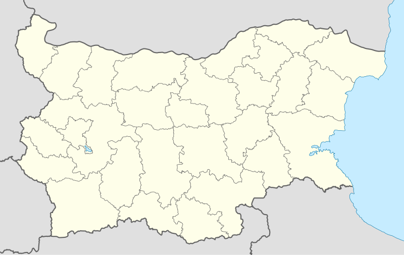
Deutsch: Positionskarte von Bulgarien
Quadratische Plattkarte, N-S-Streckung 130 %. Geographische Begrenzung der Karte:
English: Location map of Bulgaria
Equirectangular projection, N/S stretching 130 %. Geographic limits of the map:
|
| Da | 05-08-2008 |
| Beaɛ a ɛfiri |
own work, using
|
| Ɔtwerɛfoɔ | NordNordWest |
| Other versions |
Derivative works of this file:
|
.svg)

|
This map has been made or improved in the German Kartenwerkstatt (Map Lab). You can propose maps to improve as well.
|
Tumidie krataa
I, the copyright holder of this work, hereby publish it under the following licenses:

|
Permission is granted to copy, distribute and/or modify this document under the terms of the GNU Free Documentation License, Version 1.2 or any later version published by the Free Software Foundation; with no Invariant Sections, no Front-Cover Texts, and no Back-Cover Texts. A copy of the license is included in the section entitled GNU Free Documentation License. |
This file is licensed under the Creative Commons Attribution-Share Alike 3.0 Unported license.
- Wo de woho:
- sɛ wo bɛ kyɛ – to copy, distribute and transmit the work
- to remix – Ma dwumadie no mfa
- Ɛwɔ saa mbra yi ase:
- Nea ɛnam so – Ɛsɛ sɛ wo de nnidi, kyerɛ beaɛ a tumidie krataa no wɔ, na san kyerɛ sɛ nsesae bi aba mu anaa. Ɛsɛ sɛ wo kyerɛ ɛwɔ kwan pa so, na ɛmom ɛnyɛ ɔkwan a ɛkyerɛsɛ nea tumidie krataa no yɛ ne de no agye atum sɛ fa yɛ adwuma.
- share alike – If you remix, transform, or build upon the material, you must distribute your contributions under the same or compatible license as the original.
Wobɛtumi ayi tumidie krataa a wopɛ
Kratafa ne ho abakɔsɛm
Mia ɛda/berɛ no so na hwɛ sɛnea krataa no baeɛ wo saa berɛ nom
| Da/Mmere | Tɔfabɔ | Akwan ahodoɔ | Odwumdini | Adwenkyerɛ | |
|---|---|---|---|---|---|
| nea ɛkɔ so | 18:28, 6 Ahinime 2010 | | 1,642 × 1,036 (275 KB) | NordNordWest | upd |
| 18:23, 12 Ɔsanaa 2009 |  | 1,536 × 970 (204 KB) | Пакко | fixed Iskar Lake | |
| 18:12, 3 Ɔsanaa 2009 |  | 1,534 × 967 (207 KB) | Пакко | fixed some borders according to current administrative division | |
| 18:52, 25 Ɔsanaa 2008 |  | 1,645 × 1,038 (297 KB) | NordNordWest | size correction | |
| 12:25, 12 Ɔsanaa 2008 |  | 548 × 346 (291 KB) | NordNordWest | corrected | |
| 20:30, 5 Ɔsanaa 2008 |  | 548 × 346 (289 KB) | NordNordWest | {{Information |Description= {{de|Positionskarte von Bulgarien}} Quadratische Plattkarte, N-S-Streckung 130 %. Geographische Begrenzung der Karte: * N: 44.4° N * S: 41.1° N * W: 22.1° O * O: 28.9° O {{en|Location map of [[:en:Bulgaria |
Nkrataa a wɔde di dwuma
Nea ɛdidisoɔ yi kratafa dwumadie this file:
Nea wiase nyinaa de yɛ adwuma
Wikis a edidi so yi de di dwuma:
- Yɛ de ayɛ adwuma wɔ af.wikipedia.org
- Yɛ de ayɛ adwuma wɔ als.wikipedia.org
- Yɛ de ayɛ adwuma wɔ am.wikipedia.org
- Yɛ de ayɛ adwuma wɔ an.wikipedia.org
- Yɛ de ayɛ adwuma wɔ ar.wikipedia.org
- Yɛ de ayɛ adwuma wɔ arz.wikipedia.org
- Yɛ de ayɛ adwuma wɔ ast.wikipedia.org
- Burgas
- Sofía
- Varna
- Plovdiv
- Veliko Tarnovo
- Stara Zagora
- Pleven
- Vidin
- Asenovgrad
- Montes Rila
- Sredna Gora
- Ruse
- Catedral d'Alexandre Nevski de Sofía
- Módulu:Mapa de llocalización/datos/Bulgaria
- Aeropuertu de Burgas
- Aeropuertu de Plovdiv
- Aeropuertu de Sofía
- Aeropuertu de Varna
- Puertu de Burgas
- Puertu de Varna
- Módulu:Mapa de llocalización/datos/Bulgaria/usu
- Yɛ de ayɛ adwuma wɔ azb.wikipedia.org
View more global usage of this file.